
01 / Workflow
Choose the layer your team actually needs.
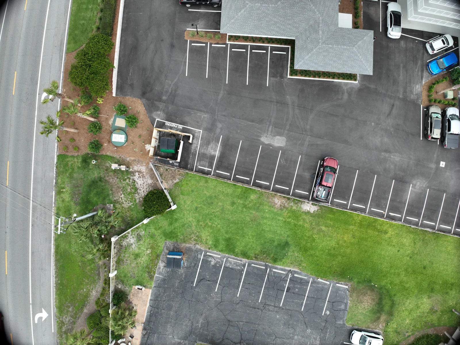
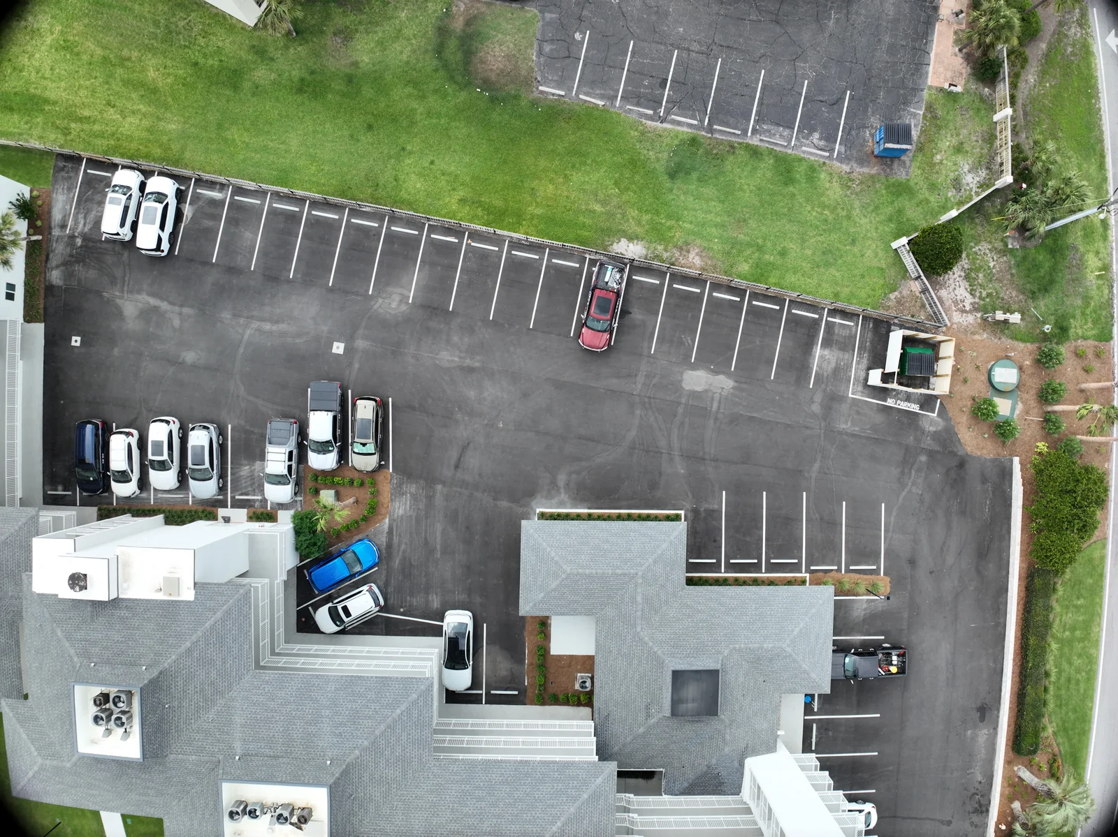
A mapping discussion can involve several products. An orthomosaic provides an assembled plan view; a digital surface model represents the visible surface; a three-dimensional reconstruction adds another way to explore the captured scene. DJI documents GeoTIFF map outputs as well as model and point-cloud options. These are separate deliverables, not different names for a single aerial photograph.
Ask the recipient what will happen next. A manager using the map to locate discussion areas may need a clear viewing copy. A technical team may need a coordinate-aware dataset for an existing project. An inspection reviewer may still need individual detail photographs. Name those uses early so a broad map does not arrive in place of the actual evidence someone expected.
Source: DJI Enterprise: Geospatial output and coordinate-system FAQ
02 / Workflow
Write the area and priorities into the brief.
Define the subject boundary and the features that must be included. Explain whether the surrounding context matters and identify areas that should be excluded. A rough outline, site plan or written area list can make the scope much clearer than a request for “the whole property.” Include access constraints and the contact who can explain current activity.
Discuss timing in relation to the question. A one-time baseline, a construction milestone and a recurring comparison call for different date records and organization. If the team wants a comparison later, decide which coverage and file conventions should remain consistent. The plan should remain understandable when someone who missed the first conversation opens the archive months later.
03 / Workflow
Connect the coverage plan to the viewing layer.
Our FlightHub work includes a saved area route, a visible-light 3D reconstruction and a thermal-named 2D roof overview. They explain different stages: the route organizes intended coverage; the reconstruction adds spatial context; the overhead layer helps locate a roof area. Our FlightHub workflow guide explains that chain and the human review needed before a client handoff.
04 / Workflow
Separate detail from dimensional confidence.
Ground sampling distance, or GSD, describes the ground distance represented between neighboring image samples. Ground control points have known locations that can help constrain a reconstruction. Neither a small GSD nor a familiar-looking map, on its own, states the error of every delivered dimension.
For any project needing measured quantities or a tolerance, define the acceptance method before capture. Independent checkpoints should be treated separately from points used to fit the model. Decide what will be checked, who supplies the reference and how the findings will be reported. Where the intended use requires a surveyor, engineer or other professional, coordinate that role directly rather than letting a software label imply it.
Sources: DJI Enterprise: Ground control points and ground sampling distance · DJI Enterprise: Mapping deliverables and reconstruction overview
05 / Workflow
Units and reference systems belong in the handoff.
A model can appear correct yet land in the wrong place when imported into another project. The proposal should identify the receiving application, horizontal reference, elevation reference where needed and the units to be used. If the customer already has project control or a design file, have the responsible technical contact explain that reference instead of guessing it from a screenshot.
At acceptance, compare known features and test the actual exported file in the destination workflow. Confirm that distances use the intended units and that elevations mean the same thing to both teams. Keep the agreed reference information beside the deliverable. For a visual-only overview, label that purpose plainly so later users do not assume a stronger measurement scope.
06 / Workflow
A surface record has visible limits.
A photograph-based dataset is built from what its images can see. In planning, identify areas obscured by trees, structures, equipment or access restrictions. Decide whether those areas can be captured another way, left out or described as a limitation. A clean-looking surface does not make an obscured area independently observed.
The same discipline applies to differences between dates. Ask whether an apparent change comes from the site, capture coverage, coordinate alignment or processing. Maintain a record of the capture window and the quality review so the comparison has context. Avoid extending a result to boundary decisions, hidden conditions or other uses outside the agreed scope.
07 / Workflow
Specify a small, usable delivery package.
A practical proposal can name a primary map file, a viewing copy, selected context images and a short handoff note. That note can state capture date, coverage, units, intended use, checks performed and areas with limitations. If more products are needed, list them deliberately instead of assuming every possible export will be included.
Send the city and state, approximate area, desired use, recipient software and deadline. Tell us whether the request is primarily visual or needs a defined accuracy review. Fly Maxwell can discuss the capture and processing options, with any software, control work, professional coordination and deliverables confirmed for the assignment.
VERIFY THE DETAILS / KEEP EXPLORING
Sources & further reading
Original explanation by Fly Maxwell. Technical and regulatory details are linked to the responsible organizations below. Product features, software plans and operating rules can change; check the current source when planning a project or a flight.
- Geospatial output and coordinate-system FAQ DJI Enterprise · reviewed October 8, 2026
- Ground control points and ground sampling distance DJI Enterprise · reviewed October 8, 2026
- Mapping deliverables and reconstruction overview DJI Enterprise · reviewed October 8, 2026
Manufacturer specifications describe the product under stated conditions. They are not a promise of project accuracy, flight duration, target detection or a particular outcome.