
01 / Mapping
What ground sampling distance tells you
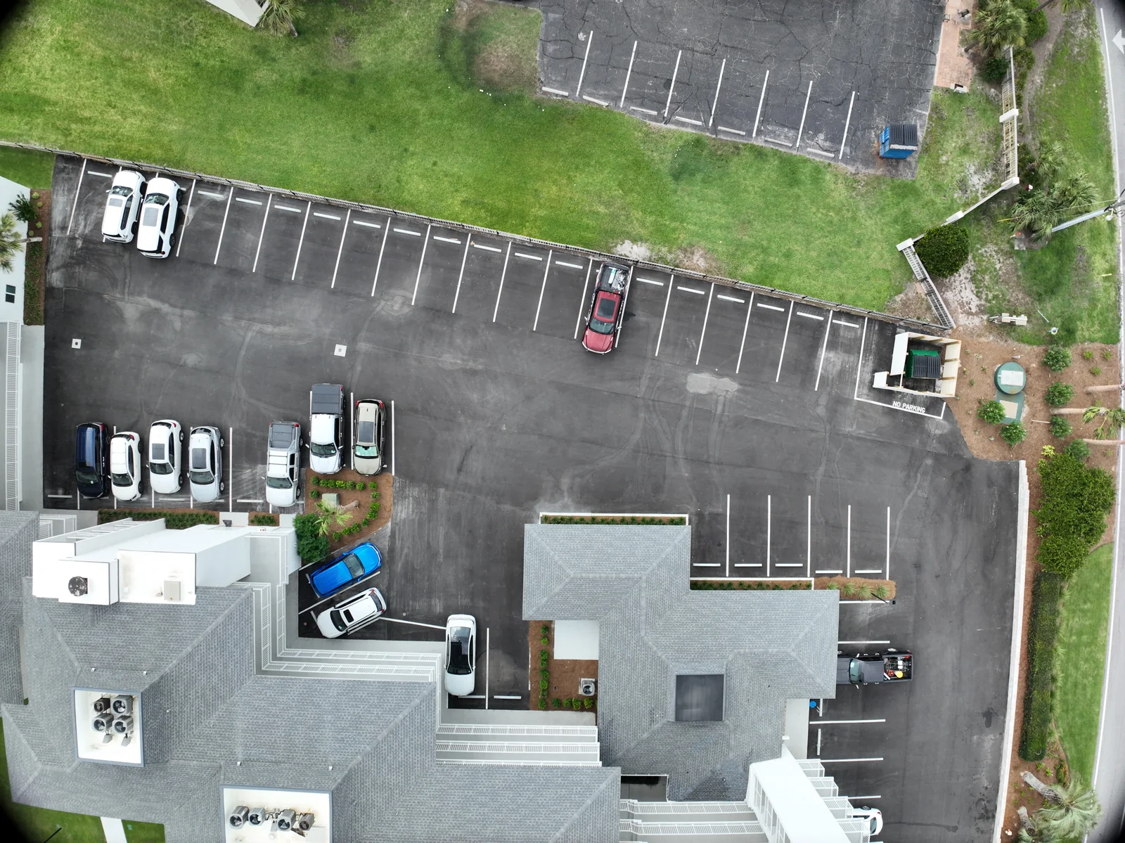
Ground sampling distance, or GSD, describes the ground distance between neighboring pixel centers. A smaller value generally means finer image detail. It depends on the camera and its distance from the subject; terrain and camera angle can change it within a project. Enlarging an exported map does not create more captured detail.
Use GSD as a planning question: what must be visible in the source images? An illustrative two-centimeter pixel spacing means a feature only a few centimeters wide occupies very few pixels. That is a reason to discuss capture suitability, not to promise that every such feature will be recognized or measured accurately. Contrast, focus, blur and viewpoint still matter.
02 / Mapping
Overlap gives the reconstruction repeated views
Photogrammetric processing needs shared image content. Forward overlap describes the shared area along a flight line; side overlap describes shared coverage between neighboring lines. Pix4D publishes different recommendations for general terrain, fields, forests and corridors, and its nadir overlap guidance should not be treated as a universal rule for oblique or thermal capture.
A grid that looks complete on a planning screen can still produce weak results if images are blurred or the scene lacks reliable detail. Ask whether the captured dataset was reviewed, not simply whether the route finished. More photographs may help coverage, but redundant images do not repair every problem with geometry, scene texture or incorrect reference information.
Source: Pix4D: Verifying image overlap
03 / Mapping
Control and checkpoints answer different questions
Ground control points help anchor or constrain the photogrammetric solution. Independent checkpoints test the resulting dataset against reference positions not used to fit it. The USGS emphasizes the relationship between capture geometry, calibration, reference-point quality and validation; it also warns against assigning accuracy solely from GSD.
A useful analogy is fitting a drawing to several known locations and then checking additional locations that were not used in the fit. Agreement at the fitting points is useful, but it is not the same test. Ask what was checked, where the checks were distributed and whether their reference quality suits the intended result. An accuracy statement without this context can sound more complete than it is.
Source: U.S. Geological Survey: Guidelines for Calibration of Uncrewed Aircraft Systems Imagery
04 / Mapping
Better positioning is a component, not the entire proof
RTK and PPK are positioning workflows that use GNSS reference information to improve positioning. RTK applies corrections during collection; PPK processes recorded observations afterward. Supported hardware, reference data, timing and correct processing are part of the workflow. A label on the aircraft is not evidence that all of these steps succeeded.
For a client, the practical question is what validation accompanies the final output. If two visits need to align, agree on the coordinate reference system, units and vertical reference. A map in the wrong reference can create a real coordination problem even when it looks internally neat. Ask the recipient’s technical team to specify its requirements before data collection.
Source: DJI Enterprise: Complete PPK Workflow for DJI Enterprise Drones
05 / Mapping
Read the quality information alongside the picture
A processing report can document image calibration, overlap, coordinate references and checkpoint results. Pix4D notes that errors between initial and computed camera positions do not themselves describe the accuracy of observed 3D points. ASPRS publishes positional accuracy standards for digital geospatial data; any claim of compliance should identify the relevant standard and the actual assessment.
Review quality at the scale of the decision. A whole-project statistic can coexist with a local problem near water, vegetation, a roof edge or an obscured corner. Ask for known gaps and suspect areas to be identified. If a measurement will drive a consequential decision, an attractive preview is a starting point for review, not the finish.
Sources: Pix4D: Understanding the PIX4Dmatic quality report · American Society for Photogrammetry and Remote Sensing: ASPRS Positional Accuracy Standards, Edition 2, Version 2
06 / Mapping
Decide when a survey professional belongs in the project
A drone is a collection tool. A photo, map or model should not be assumed to establish a legal property boundary, certify an engineering design, prove an as-built condition or replace a required professional survey. If the project involves these uses, involve the appropriately licensed professional at the beginning and have that person specify the required scope and evidence.
This is a practical way to buy suitable work rather than an interpretation of state licensing law. The distinction is about the service and reliance being requested, not whether the camera was airborne. A clearly described visual documentation project can be valuable on its own. A regulated or certified deliverable needs the correct professional arrangement and validation.
- What measurement or comparison will influence the decision?
- What tolerance, reference system and validation are required?
- What local gaps or unreliable surfaces are present?
- Who is qualified to accept and use the result for this purpose?
- Does the requested service require a licensed surveyor or another specialist?
VERIFY THE DETAILS / KEEP EXPLORING
Sources & further reading
Original explanation by Fly Maxwell. Technical and regulatory details are linked to the responsible organizations below. Product features, software plans and operating rules can change; check the current source when planning a project or a flight.
- Ground sampling distance in photogrammetry Pix4D · reviewed October 8, 2026
- Verifying image overlap Pix4D · reviewed October 8, 2026
- Guidelines for Calibration of Uncrewed Aircraft Systems Imagery U.S. Geological Survey · reviewed October 8, 2026
- Complete PPK Workflow for DJI Enterprise Drones DJI Enterprise · reviewed October 8, 2026
- Understanding the PIX4Dmatic quality report Pix4D · reviewed October 8, 2026
- ASPRS Positional Accuracy Standards, Edition 2, Version 2 American Society for Photogrammetry and Remote Sensing · reviewed October 8, 2026
Manufacturer specifications describe the product under stated conditions. They are not a promise of project accuracy, flight duration, target detection or a particular outcome.