01 / 3D and photogrammetry
The idea behind structure from motion
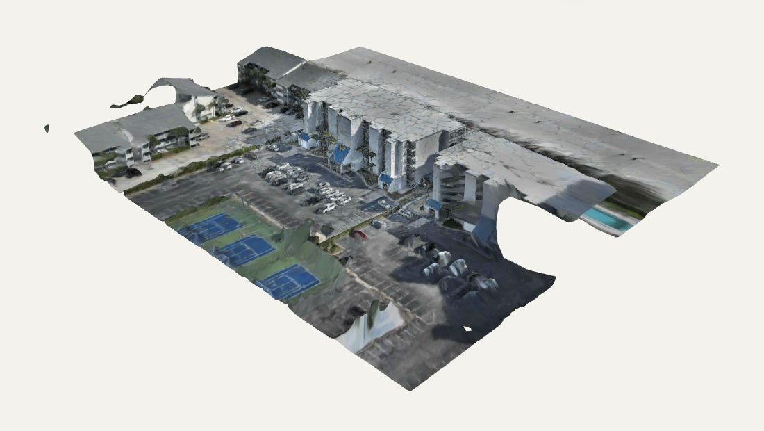
Structure-from-motion photogrammetry uses overlapping photographs to estimate camera relationships and reconstruct three-dimensional information. The process can produce a point cloud and derived elevation or image products. USGS publications describe how these workflows turn collections of photographs into spatial representations rather than simply arranging pictures into a slideshow.
Think of walking around a building and noticing how one corner shifts against another as your viewpoint changes. Multiple views contain information about spatial relationships. Software makes use of shared image features, but it still needs an appropriate dataset. One impressive overhead photograph cannot describe every wall, overhang and recess.
02 / 3D and photogrammetry
Capture the surfaces you want people to understand
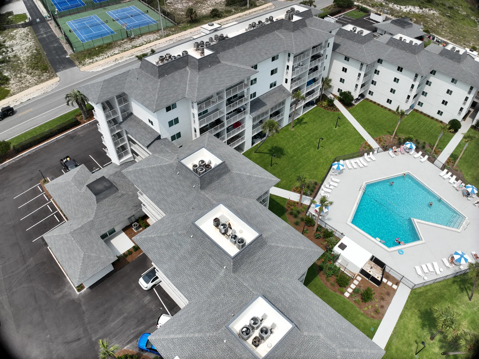
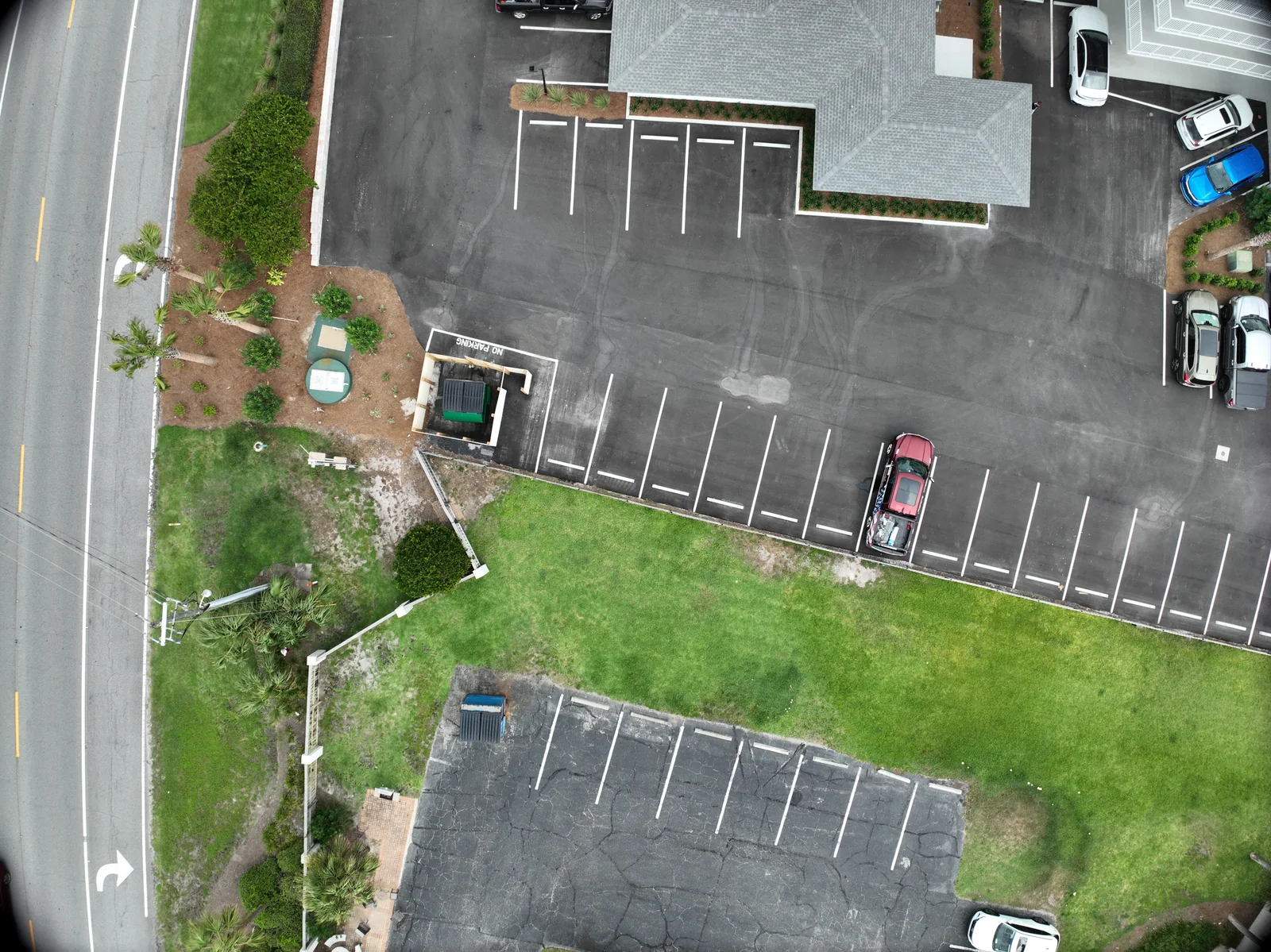
Aerial capture looking straight down is useful for overhead coverage. Reconstructing building faces requires additional viewpoints that actually show those faces. Pix4D’s acquisition guidance varies by subject and includes oblique, circular and mixed capture approaches. Its guidance also identifies water, repetitive terrain and moving vegetation as difficult cases.
Begin by listing what must be represented. Is the model meant to explain the campus layout, a building exterior or a particular roof area? A pilot can then plan views around that objective and feasible access. Capture planning should account for places that cannot be safely seen. A model is more useful when its coverage is deliberate than when thousands of images happen to be available.
Source: Pix4D: Best practices for image acquisition and photogrammetry
03 / 3D and photogrammetry
Visual completeness and evidence are different
A textured surface can make a reconstruction feel remarkably real. That realism helps a viewer orient themselves, compare relationships and discuss a complicated site. It can also hide uncertainty. A smooth patch, a distorted edge or a filled opening may be an artifact of reconstruction or processing rather than a faithful record of the physical place.
Review the model with the source photographs available. Pay particular attention to the features that matter to the decision: an edge, opening, roof transition or area behind equipment. If a critical surface was not captured, label the gap. Do not let a compelling presentation quietly imply that the camera inspected a concealed condition.
04 / 3D and photogrammetry
Decide whether the model is for exploration or measurement
For a presentation, the important questions may be whether the model loads quickly, gives a clear sense of place and highlights the right features. For measurements or technical coordination, the questions become more demanding: what reference system was used, what quality checks exist and is the result suitable for the required tolerance? These should be settled before collection.
An example helps. A property owner explaining a proposed maintenance area may benefit from an annotated model with named viewpoints. A design team using dimensions needs a specified and validated technical deliverable accepted by the appropriate professional. The same preview can support a useful conversation without being adequate for the second purpose. Naming the intended use avoids asking a presentation tool to bear an unsupported level of reliance.
05 / 3D and photogrammetry
A model needs a guided handoff
Give the next viewer an entry point. A model that opens in an unfamiliar orientation with no explanation can be harder to use than a well-labeled photograph. Include a short description, capture date, location context and a small set of meaningful views. Identify which areas are the focus of the work and which are incidental background.
Confirm the delivery format with the recipient. A browser presentation and a technical data export serve different needs. Large files can be a burden when the customer only needs to understand one part of a property. Preserve the information required for the project while creating a practical viewing experience. Accessibility also matters: offer still views and written descriptions so the story does not depend entirely on rotating a 3D scene.
- State the purpose and date of the reconstruction.
- Identify the subject, orientation and important viewpoints.
- Show known gaps or unreliable areas clearly.
- Confirm compatible viewer or import formats before delivery.
- Keep measurement claims tied to an appropriate validation process.
06 / 3D and photogrammetry
A useful first project: explain one decision
Instead of asking for a model of everything, begin with a bounded question. For a multi-building property, that might be understanding how several roof elevations connect. For a facility team, it might be discussing access around a piece of exterior equipment. The useful outcome is a clearer shared understanding, with the relevant photographs connected to the model.
A focused first project also reveals whether the format suits your team. Can the people who need it open it? Do the labeled views answer the intended question? What information is still missing? Those answers provide a better basis for expanding a recurring program than a model created only because the technology is available.
VERIFY THE DETAILS / KEEP EXPLORING
Sources & further reading
Original explanation by Fly Maxwell. Technical and regulatory details are linked to the responsible organizations below. Product features, software plans and operating rules can change; check the current source when planning a project or a flight.
- Creating 3D Point Clouds, Elevation Models, and Orthomosaics with Structure from Motion U.S. Geological Survey · reviewed October 8, 2026
- Best practices for image acquisition and photogrammetry Pix4D · reviewed October 8, 2026
Manufacturer specifications describe the product under stated conditions. They are not a promise of project accuracy, flight duration, target detection or a particular outcome.