
01 / Client guide
Start with the user of the file
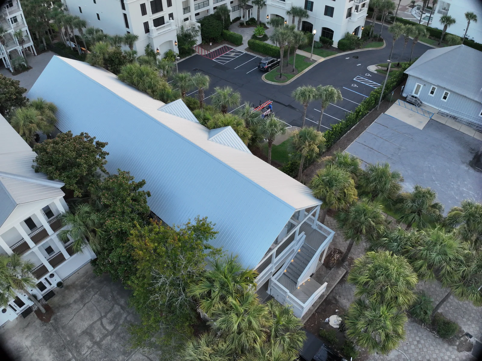
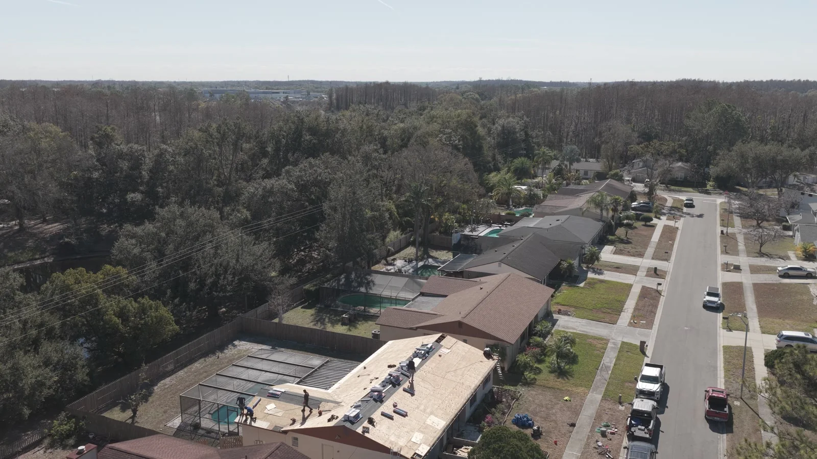
Consider a property owner who wants to understand a site before a maintenance meeting. A clear overhead view, several labeled details and an image index might be the right package. The same owner promoting the property may need an edited sequence with room for headlines and social crops. A technical team integrating information into existing software may need a georeferenced dataset and supporting quality information.
The aircraft may be similar across these projects, but the work is not interchangeable. Ask who will open the delivery, what software they have and what action follows. “We need drone footage” is a starting point. “Our maintenance contractor needs to locate these five concerns on the correct roof sections” is a scope that can be checked.
02 / Client guide
Photography and an organized visual record
A photograph gives a view from one camera position. It can communicate a location, relationship or visible condition very effectively when the framing and context are intentional. For documentation, request a progression from overview to area view to detail. For marketing, request images suited to the places they will appear, including useful horizontal and vertical compositions.
An organized visual record adds meaning around those images. A location index, dates, descriptive captions and consistent view names reduce the work required to understand them. Neither a polished photograph nor an annotated image should quietly become a claim that every concealed component or inaccessible surface has been examined. Describe the coverage that was actually achieved.
03 / Client guide
Maps and models are different representations
An orthomosaic combines processed images into a mapped overhead view. A point cloud represents reconstructed three-dimensional points. A digital surface model represents elevations of visible surfaces, while a terrain model aims to represent ground after above-ground features are removed or classified. A textured mesh emphasizes a connected, visually understandable surface.
Choose among these by use, not by how impressive the name sounds. A project team comparing site context may prefer a map. A viewer exploring a structure may benefit from a model. A specialist performing analysis needs suitable source data, coordinates and validation. A visually attractive mesh should not be assumed to provide the same measurement basis as a checked technical dataset.
Source: Pix4D: Point clouds, orthomosaics, meshes, DSMs and DTMs
04 / Client guide
Thermal deliverables need an explicit data requirement
A thermal image can be delivered as a display picture or as an original radiometric file containing information used for temperature analysis. Pix4D distinguishes radiometric formats from ordinary colorized thermal JPEGs that do not retain the original radiometric values. These are materially different handoffs.
If a qualified reviewer needs to revisit temperature analysis, specify the required original format and a compatible workflow before capture. A clear client package can combine an overview, an associated visible image, a thermal view, a location reference and the capture conditions. A dramatic thermal screenshot alone often leaves the next reviewer without the context needed to interpret it responsibly.
Source: Pix4D: Thermal images and radiometric formats in PIX4Dmatic
05 / Client guide
Write acceptance criteria that someone can use
A deliverable specification should make completion observable. Replace “high-quality imagery” with a description of the areas to be covered, the types of views, the file formats and the information that accompanies them. For a recurring project, specify whether view names and comparisons need to remain consistent between visits.
For measurement work, agree on the intended use and how quality will be assessed. For marketing, agree on the story, output sizes and editing expectations. For a property record, agree on organization and captions. Do not make a client discover at handoff that a specialist viewer, an additional processing step or a different capture method is needed.
- Coverage: which buildings, areas, features or routes are included?
- Format: what can the recipient open, view, import or analyze?
- Context: are dates, labels, coordinates and conditions required?
- Quality: how will the result be reviewed against its intended use?
- Limitations: how will gaps, uncertainty and follow-up needs be documented?
06 / Client guide
An example: one property, three sensible packages
For a maintenance conversation, a useful package might contain a site overview, labeled roof-area images and a concise observation index. For a leasing campaign, it might contain a curated exterior gallery and a short location story. For recurring site management, it might contain consistent dated views and a comparison sheet. These are illustrative ways to define a scope, not promises that every site is suitable for every output.
The most professional package is the one your team can put to work. Extra files have value when they answer an additional question, preserve necessary evidence or make future comparisons easier. More processing is not automatically a better purchase. A focused brief helps the operator recommend a result that fits the task and explain any further work needed.
VERIFY THE DETAILS / KEEP EXPLORING
Sources & further reading
Original explanation by Fly Maxwell. Technical and regulatory details are linked to the responsible organizations below. Product features, software plans and operating rules can change; check the current source when planning a project or a flight.
- Point clouds, orthomosaics, meshes, DSMs and DTMs Pix4D · reviewed October 8, 2026
- Thermal images and radiometric formats in PIX4Dmatic Pix4D · reviewed October 8, 2026
Manufacturer specifications describe the product under stated conditions. They are not a promise of project accuracy, flight duration, target detection or a particular outcome.