
01 / Aircraft
Match the aircraft to the record you need.
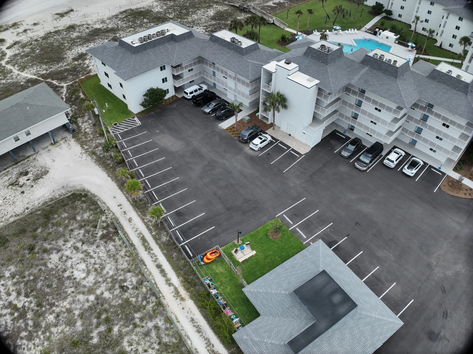
Our Matrice 4E supports an organized visible-light site record, a proposed map dataset or a three-dimensional reconstruction. The important distinction is the deliverable: a promotional overview, an inspection image set and a model capture all require different priorities.
For a promotional overview, framing may favor the most compelling view. A reconstruction needs an intentional network of views that connects surfaces throughout the subject. A progress record needs recognizable viewpoints and dates that make the changes easy to follow. Tell us which of those jobs the images must perform before choosing an output or visit pattern.
02 / Aircraft
The camera design serves consistent capture.
DJI specifies a 20 MP 4/3 wide camera with a mechanical shutter for the 4E. That is a different camera arrangement from the thermal-oriented 4T. Comparing aircraft only by megapixel count misses the role of shutter behavior, image geometry and the way the dataset will be processed.
For the customer, the useful question is what the capture must resolve and which surfaces must appear. A broad site record, a facade model and a roof image set do not need the same view pattern. Agree which areas are essential and which are background context. The resulting image collection should have an understandable relationship to the deliverable rather than simply contain a high number of photographs.
03 / Aircraft
Choose a map, model or image set with a purpose.
A map is useful for locating features across an area. A three-dimensional model helps someone understand relationships between surfaces and viewpoints. An inspection photo set can preserve readable detail that a lightweight presentation model may not show. A single assignment can discuss more than one handoff, provided the capture plan and processing scope support them.
Start with the people receiving the files. A property owner may want a simple overview for discussion. A designer may need a specific format and coordinate convention. A project manager may need date-organized updates. Name the audience and the action the deliverable should support. Doing that early is often more useful than selecting the largest file or the most visually elaborate model.
- Site context and selected detail photographs.
- A proposed 2D map or 3D reconstruction with an agreed intended use.
- Repeat visits organized around milestones and comparable areas.
04 / Aircraft
Define accuracy before quoting a number.
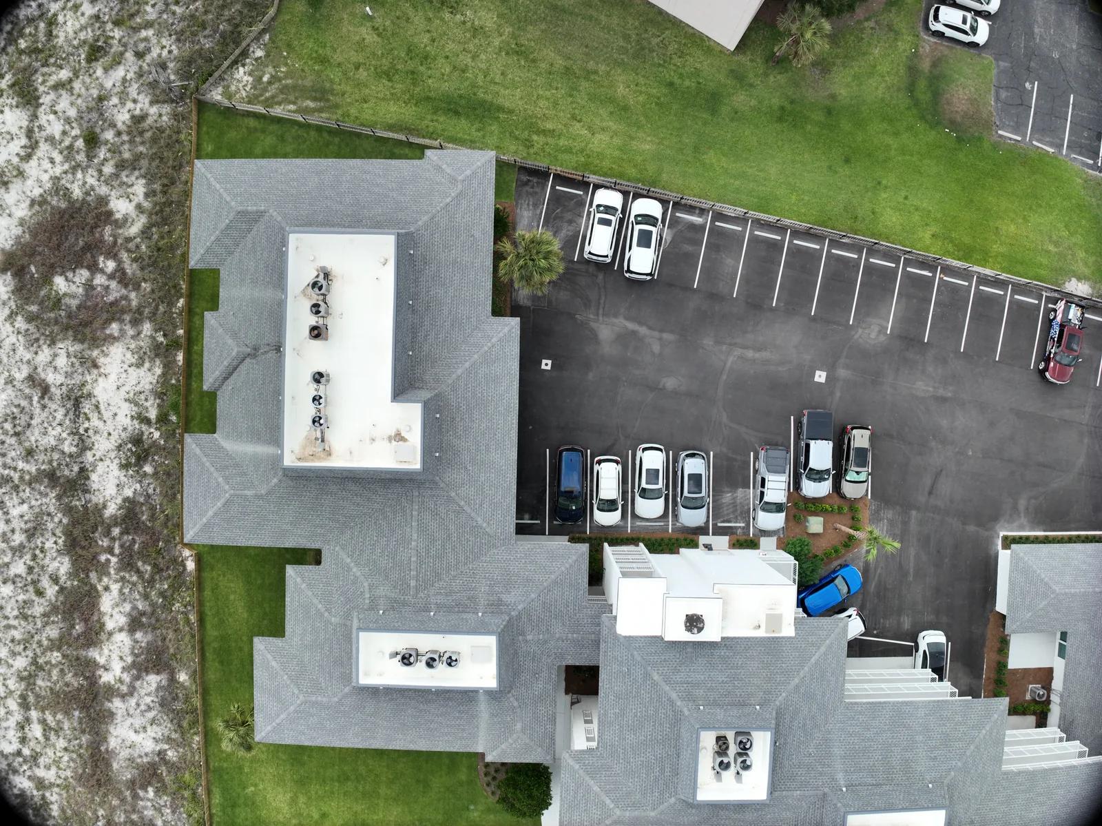
DJI supports precision mapping on the 4E with RTK enabled. That describes an aircraft capability; it does not establish the accuracy of every dataset. Positioning, the smallest visible detail and the dimensional agreement of the finished model answer different questions.
If a dimension will drive design, quantities or another consequential decision, specify the required tolerance, coordinate system and independent checks before capture. Identify who provides any control information and who accepts the result. A visually clean reconstruction can still need additional verification. If the intended work calls for a licensed survey or another professional determination, define that role separately instead of assuming a drone map supplies it.
Sources: DJI: Matrice 4 Series support and FAQ · DJI Enterprise: Ground control points and ground sampling distance
05 / Aircraft
Make recurring coverage easier to compare.
A recurring assignment should give the next visit a clear reference. Define the primary areas, the overview views, the milestone questions and the folder structure at the beginning. Keep a change list for access, work zones and new priorities. A documented plan can help maintain continuity while leaving room for a pilot to adjust to the actual site.
Ask what the team needs to compare: overall progress, a particular area, staging or completion. Do not treat every visit as a new collection with unrelated framing. Conversely, do not insist on repeating a route when conditions have changed. The useful record balances recognizable coverage with a current assessment of the location and task.
06 / Aircraft
A practical handoff makes the capture worthwhile.
A proposed mapping package should identify its files, units, coverage, capture date and intended use. For a model, discuss how the recipient will open it, whether a lightweight viewing copy is needed and how missing or obscured areas will be described. For a photo assignment, agree the selection and naming so a reviewer can locate the important areas without searching every frame.
Processing software and correction services are selected and confirmed for the project; they are not implied by the aircraft name. Send the site location, approximate area, desired deadline and the application that will receive the files. Fly Maxwell will discuss a suitable scope, including whether a smaller pilot dataset is the right first step before committing to a larger capture.
VERIFY THE DETAILS / KEEP EXPLORING
Sources & further reading
Original explanation by Fly Maxwell. Technical and regulatory details are linked to the responsible organizations below. Product features, software plans and operating rules can change; check the current source when planning a project or a flight.
- Matrice 4 Series specifications DJI · reviewed October 8, 2026
- Matrice 4 Series support and FAQ DJI · reviewed October 8, 2026
- Ground control points and ground sampling distance DJI Enterprise · reviewed October 8, 2026
Manufacturer specifications describe the product under stated conditions. They are not a promise of project accuracy, flight duration, target detection or a particular outcome.