Original overhead and oblique photographs from our property capture archive. Explore why a systematic image collection contains more than a single attractive overview.
LOOK AT THE GEOMETRY
Footprint. Facade. Surrounding context.
These are individual source photographs. They are not a finished orthomosaic, point cloud or measured 3D model.
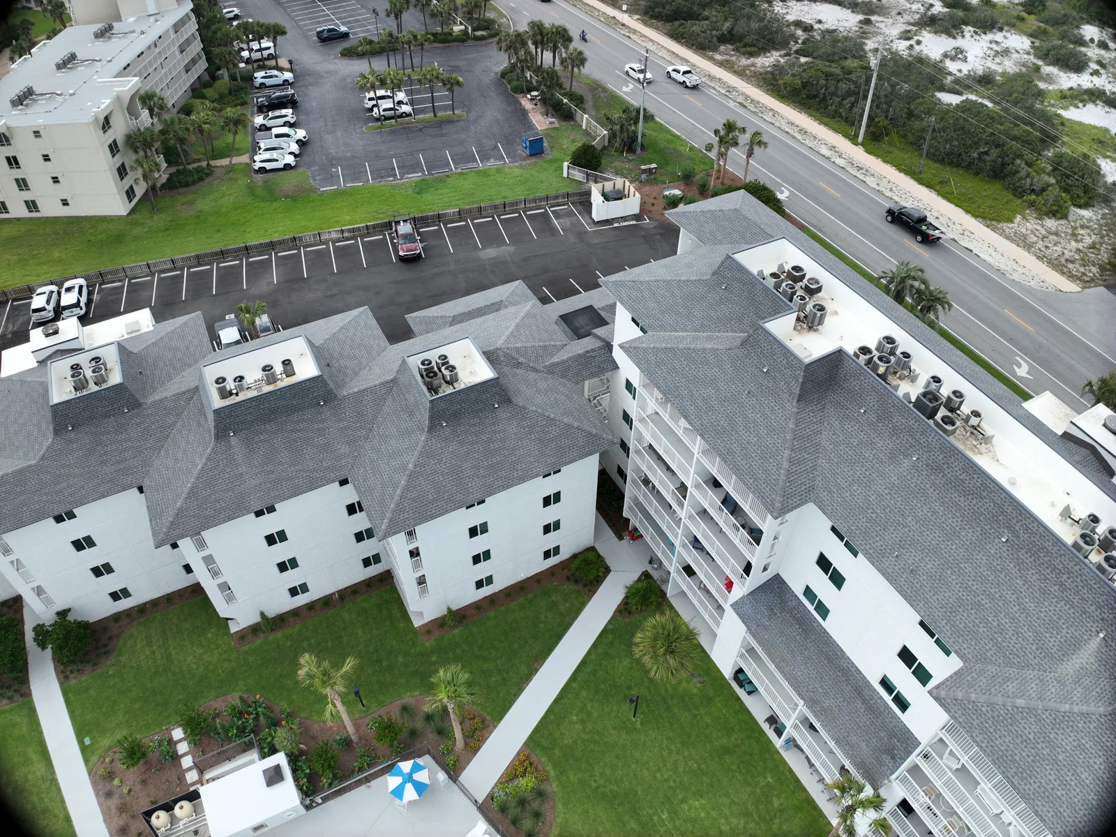
CAPTURE FRAME 01
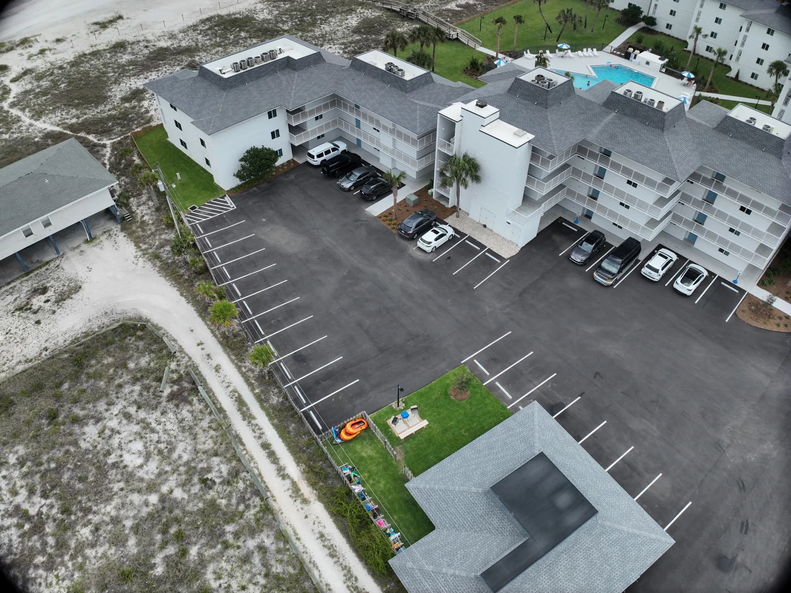
Oblique capture: roof and site
An angled capture links the roof with parking, access and the surrounding property.
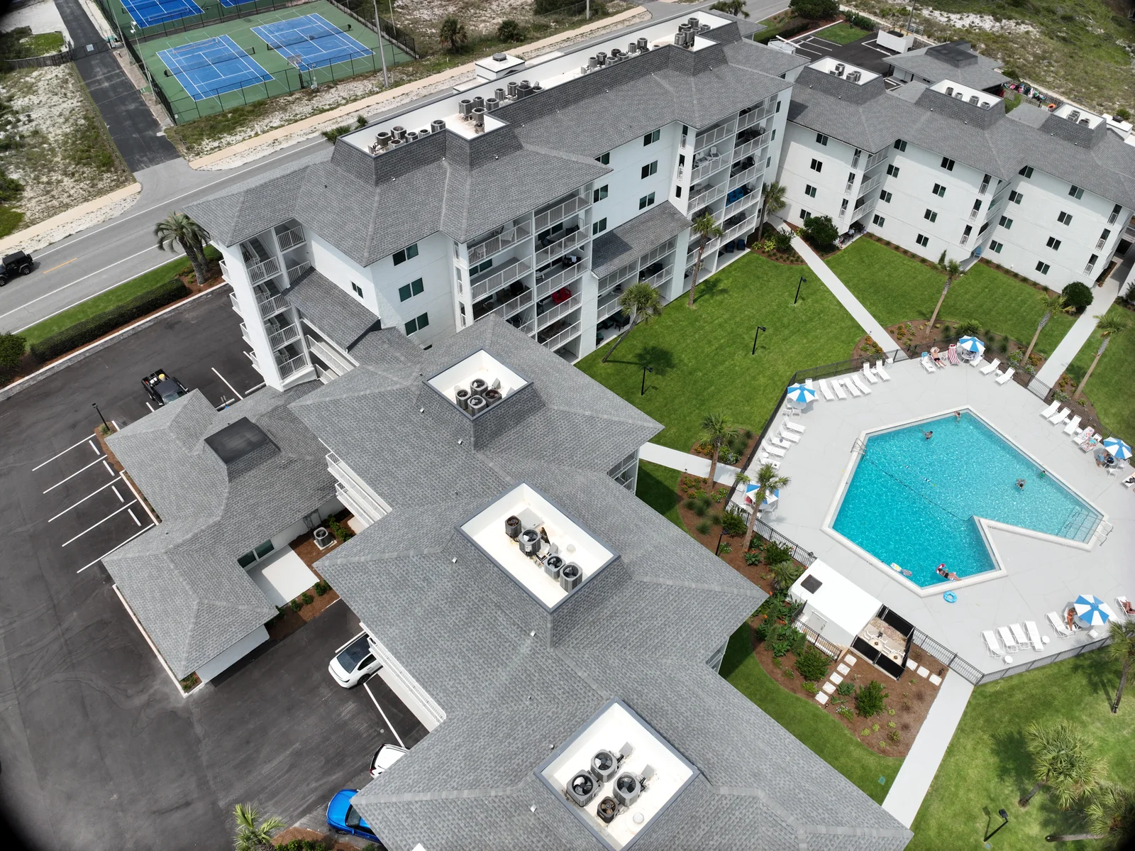
CAPTURE FRAME 02
Oblique capture: the opposite side
A different viewing direction adds roof edges, rooftop equipment and courtyard context.
CAPTURE FRAME 03
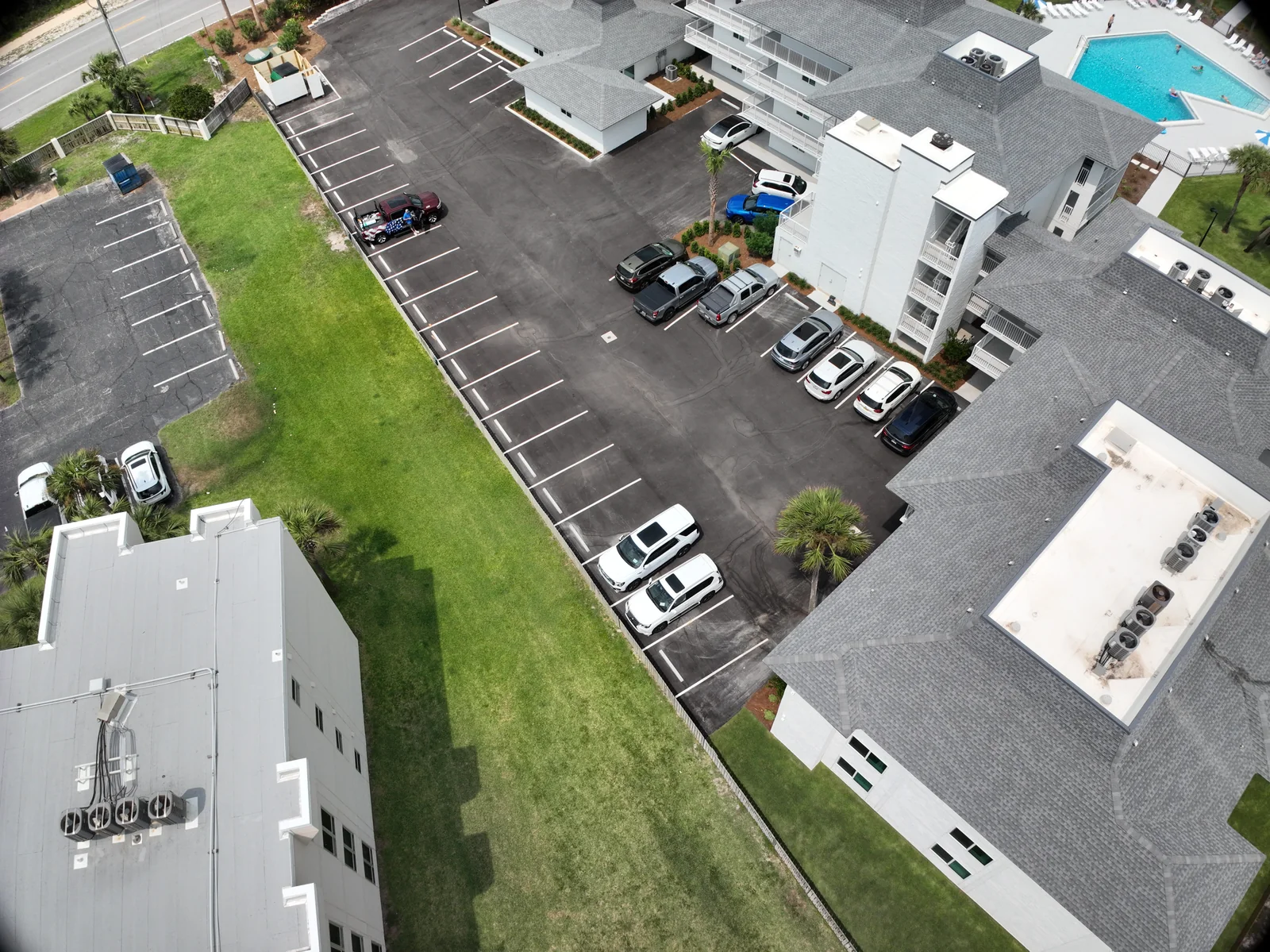
Following the building footprint
Multiple viewpoints document how separate building wings and access areas relate.
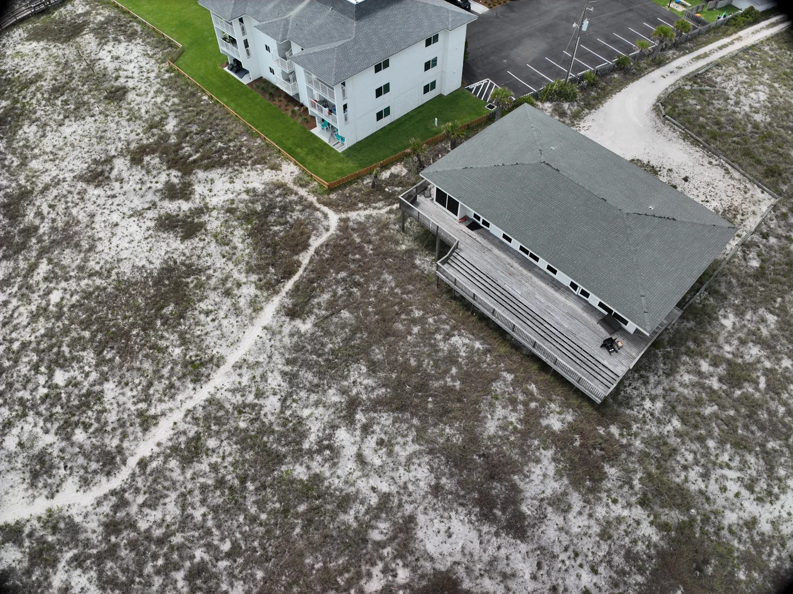
CAPTURE FRAME 04
Site context beyond the roof
Coverage includes the space around the building as well as its roof.
CAPTURE FRAME 05
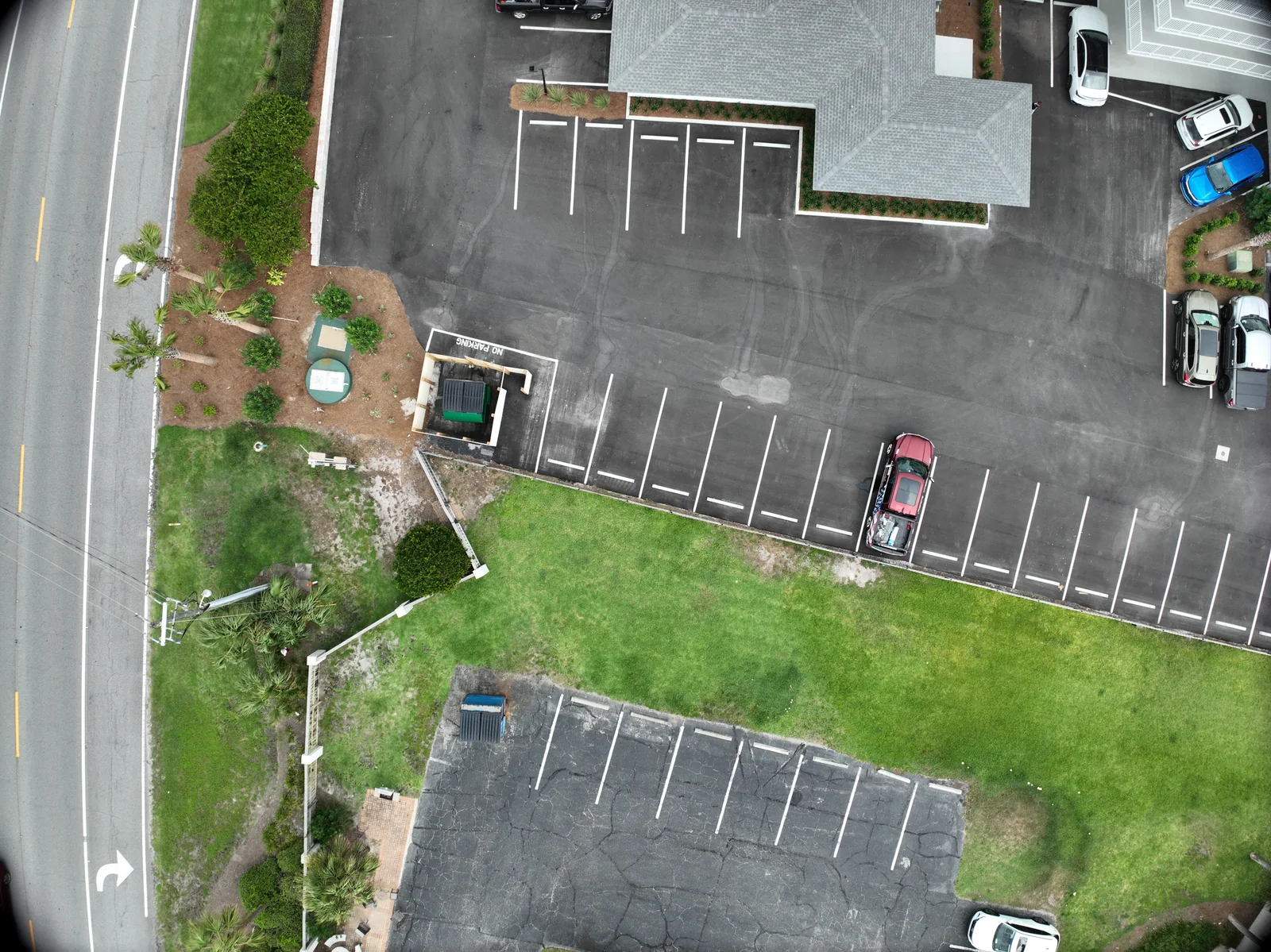
Overhead capture: access and layout
A downward-facing frame records parking lines, pedestrian access and site layout.
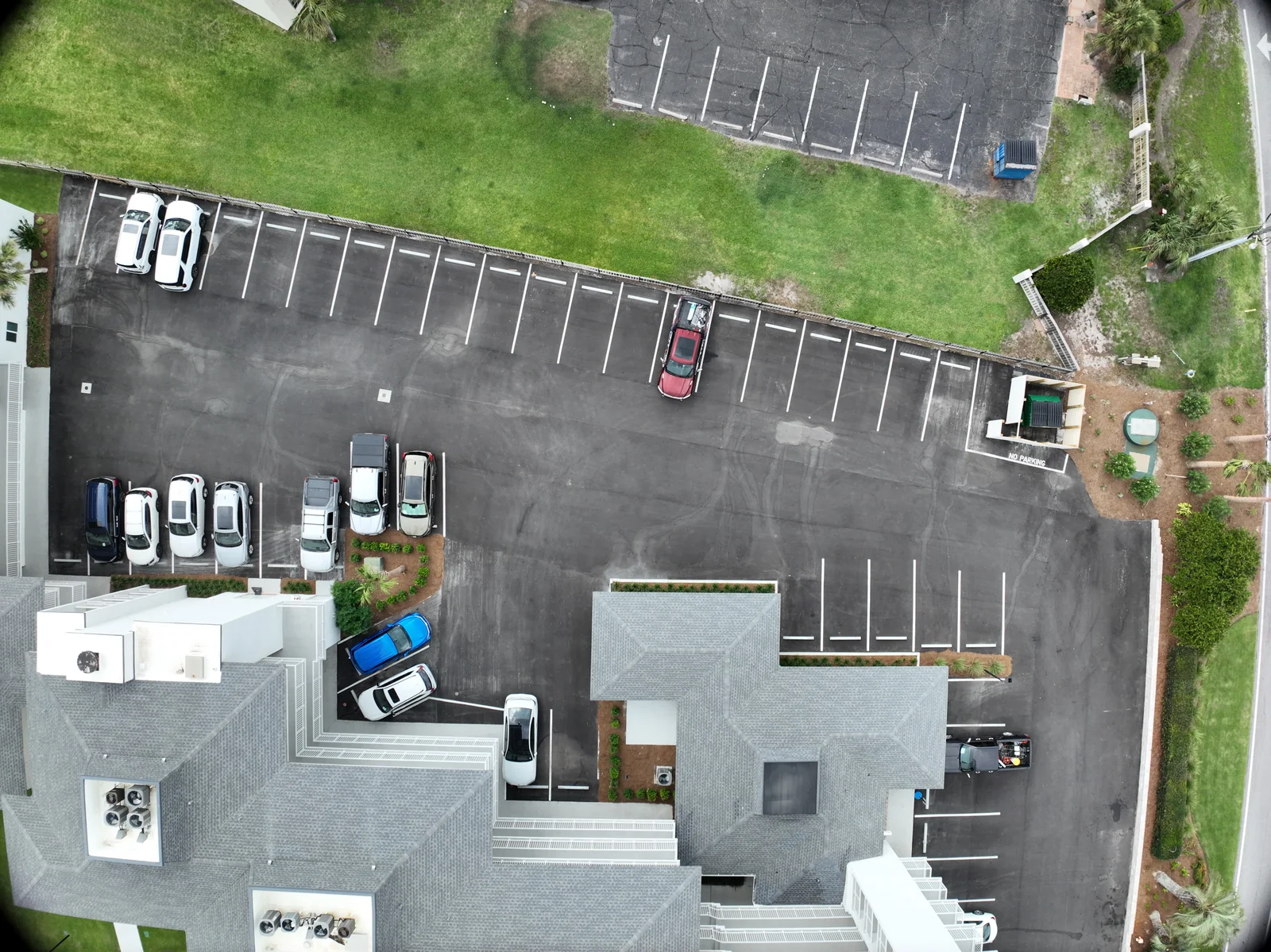
CAPTURE FRAME 06
Overhead capture: roof connections
A second overhead frame shows the relationship between building wings and parking.
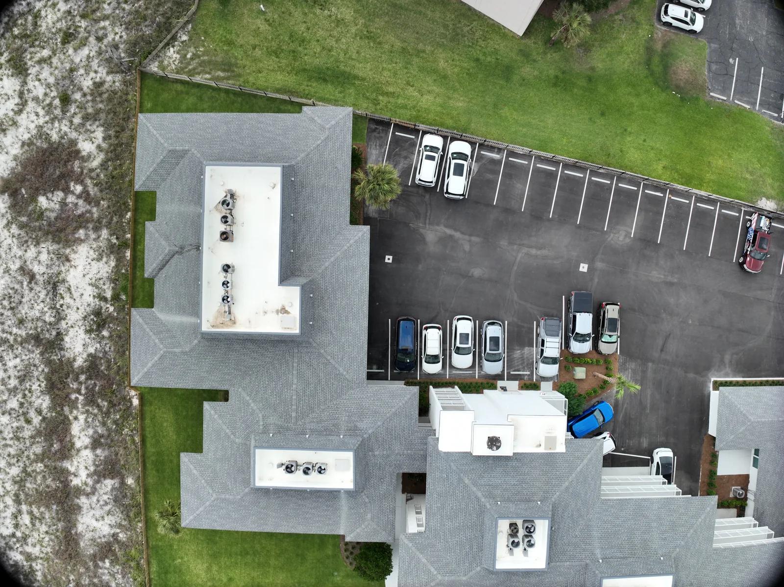
CAPTURE FRAME 07
Overhead capture: rooftop equipment
Roof surfaces and rooftop units can be documented within the same site capture.
CAPTURE FRAME 08
A property from multiple angles
This original capture belongs to the same property series as the other angled and overhead views.
Read the footprint.
A nadir view looks downward and can make roof layout, paths and the relationship between site features easier to follow. For map production, the capture needs shared features across suitable overlapping frames.
Oblique photographs show sides and edges that a straight-down view can miss. They add useful visual context and can support reconstruction when the full collection and capture geometry are suitable.
A good-looking aerial image cannot tell you the positional accuracy of a future map. Coordinate systems, control, independent checks and intended use belong in the scope before a measurement-based result is promised.
Change the layer to explore how a collection of photographs can become a three-dimensional representation.
EDUCATIONAL DIAGRAM / NOT A CLIENT MODEL
CAPTURE / OVERLAPPING VIEWS
Give the software shared features.
Photographs from different positions show the same physical features. Coverage, focus, lighting and overlap shape what the reconstruction can use.
This simplified illustration explains the stages. A finished model needs suitable source capture, processing, quality review and an agreed purpose. A textured surface alone does not establish measurement accuracy.
Describe the area, intended use and software your team works in. We’ll discuss capture, processing, file formats and the review needed for that purpose.