Show the property and its setting.
Give people an overview of open land, wooded areas, access and surrounding features. Discuss imagery for an outdoor property, recreational business or hunting-property presentation.
 FLY MAXWELLAERIAL IMAGERY + THERMOGRAPHY
EXPLORE / FLY MAXWELL
Aerial property imagery, outdoor media and carefully scoped thermal inquiries for landowners and outdoor organizations. Hunting-related work starts with the rules for the location.
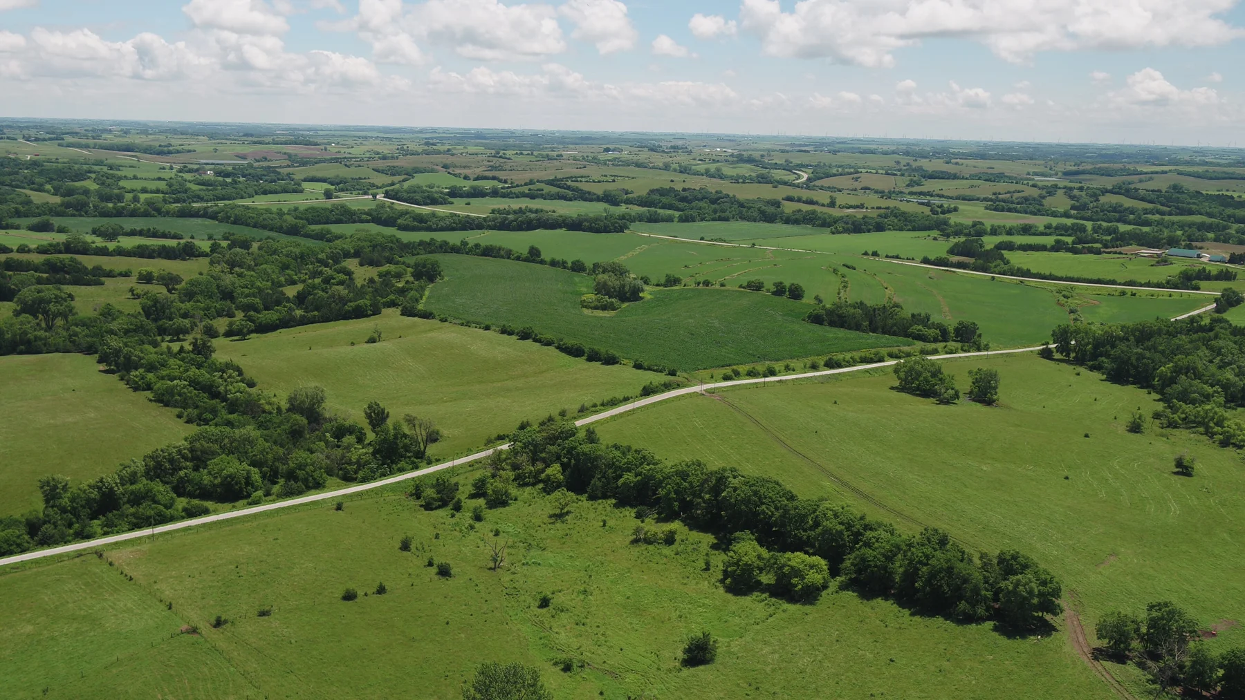
FROM THE FLY MAXWELL PHOTO COLLECTION
Give people an overview of open land, wooded areas, access and surrounding features. Discuss imagery for an outdoor property, recreational business or hunting-property presentation.
Share the species, location, purpose and proposed timing. Wildlife observation and game recovery are subject to specific restrictions; we confirm the applicable permissions and rules before accepting any task.
Nebraska’s current Game & Parks guide prohibits using drones to recover game. Fly Maxwell does not offer drone game recovery in Nebraska. In other states, a recovery request is considered only after the relevant wildlife authority’s requirements are confirmed.
FROM OUR ORIGINAL IMAGE ARCHIVE
A wider selection from the Fly Maxwell collection. Open any photograph to look closer, then tell us which views would help your project.
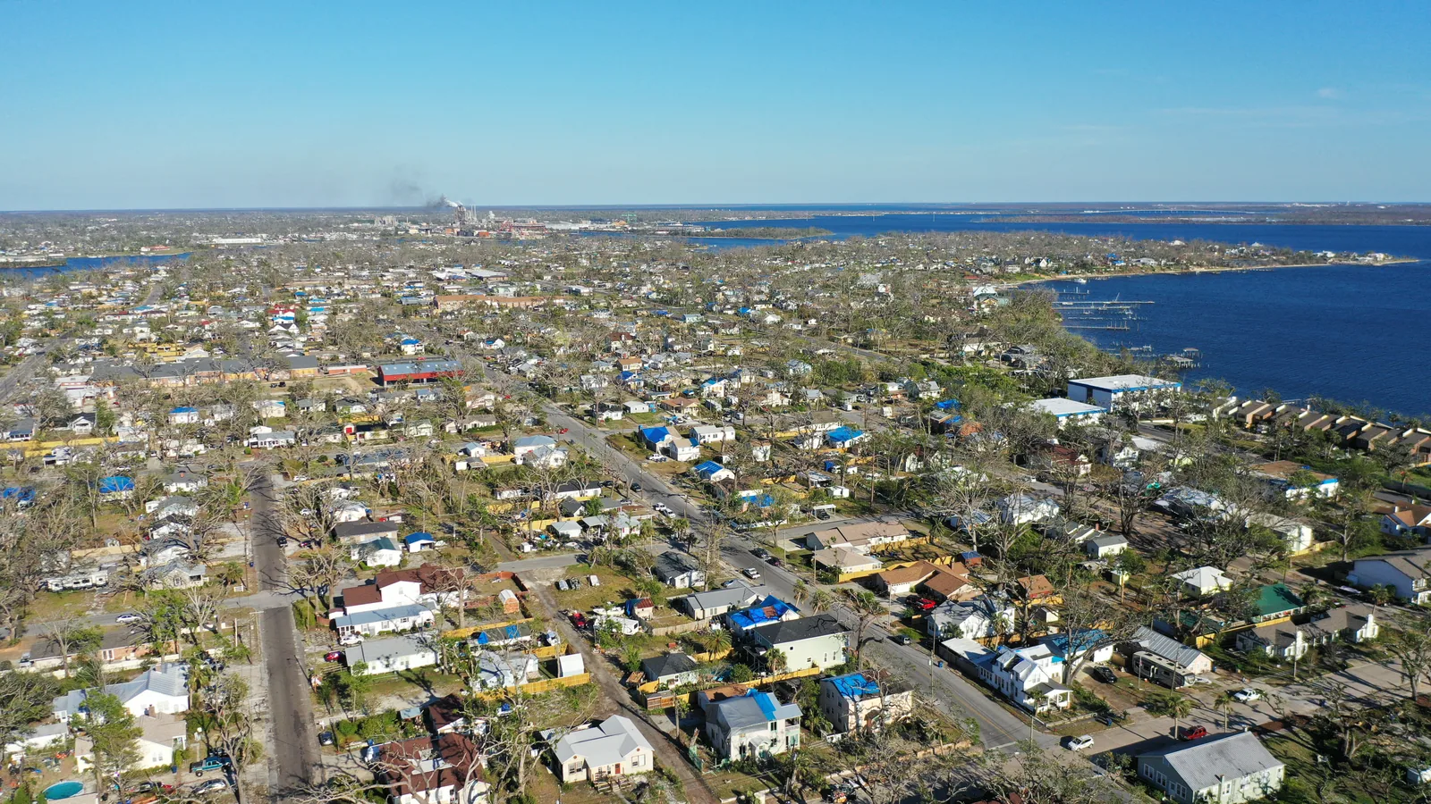
A wide aerial view connects the built landscape, vegetation and water.
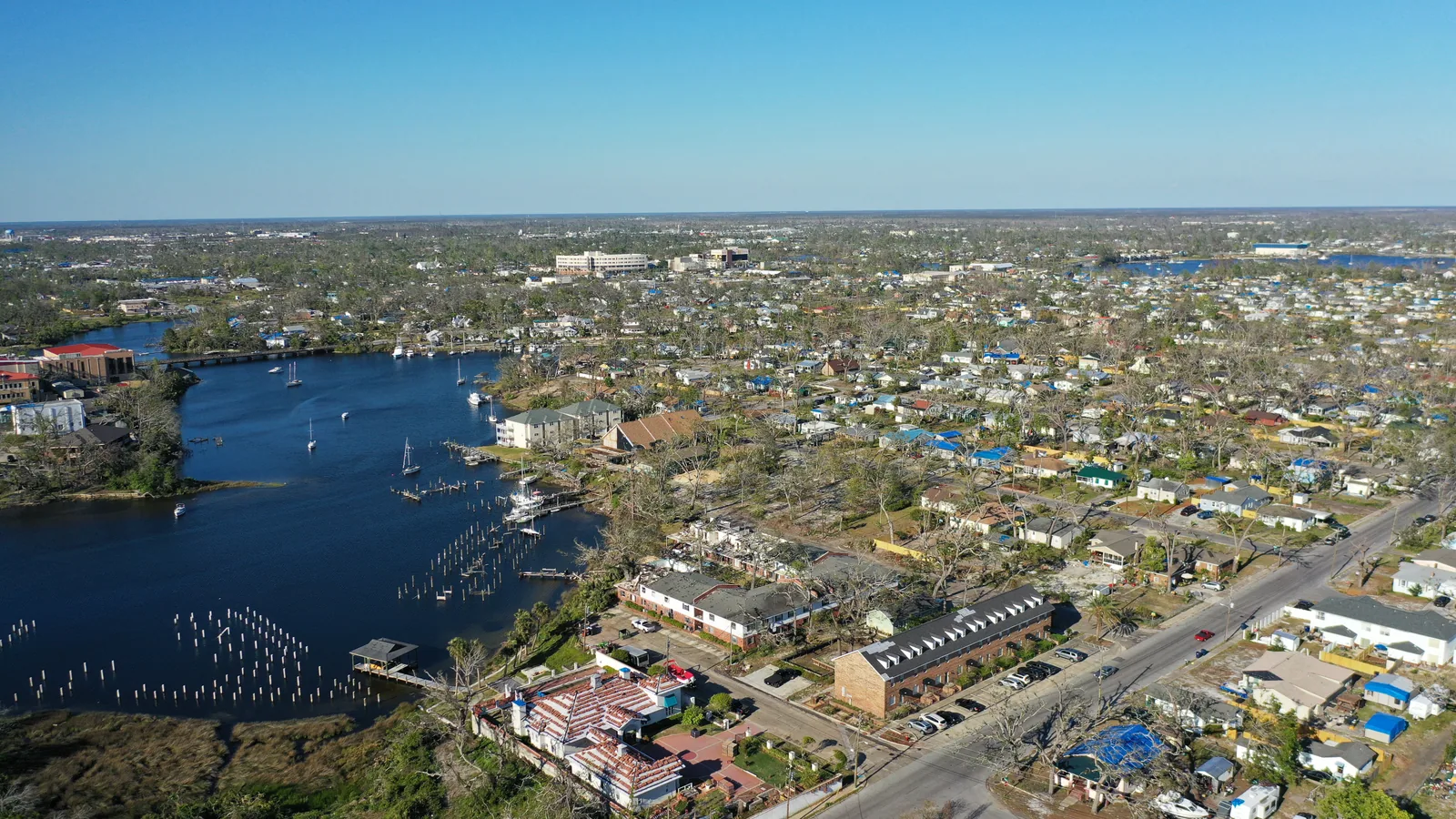
An aerial context view follows the relationship between buildings, streets and an inlet.
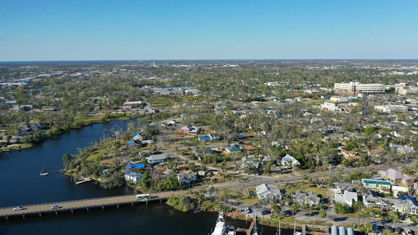
A different aerial perspective shows the shape of the inlet and surrounding land.
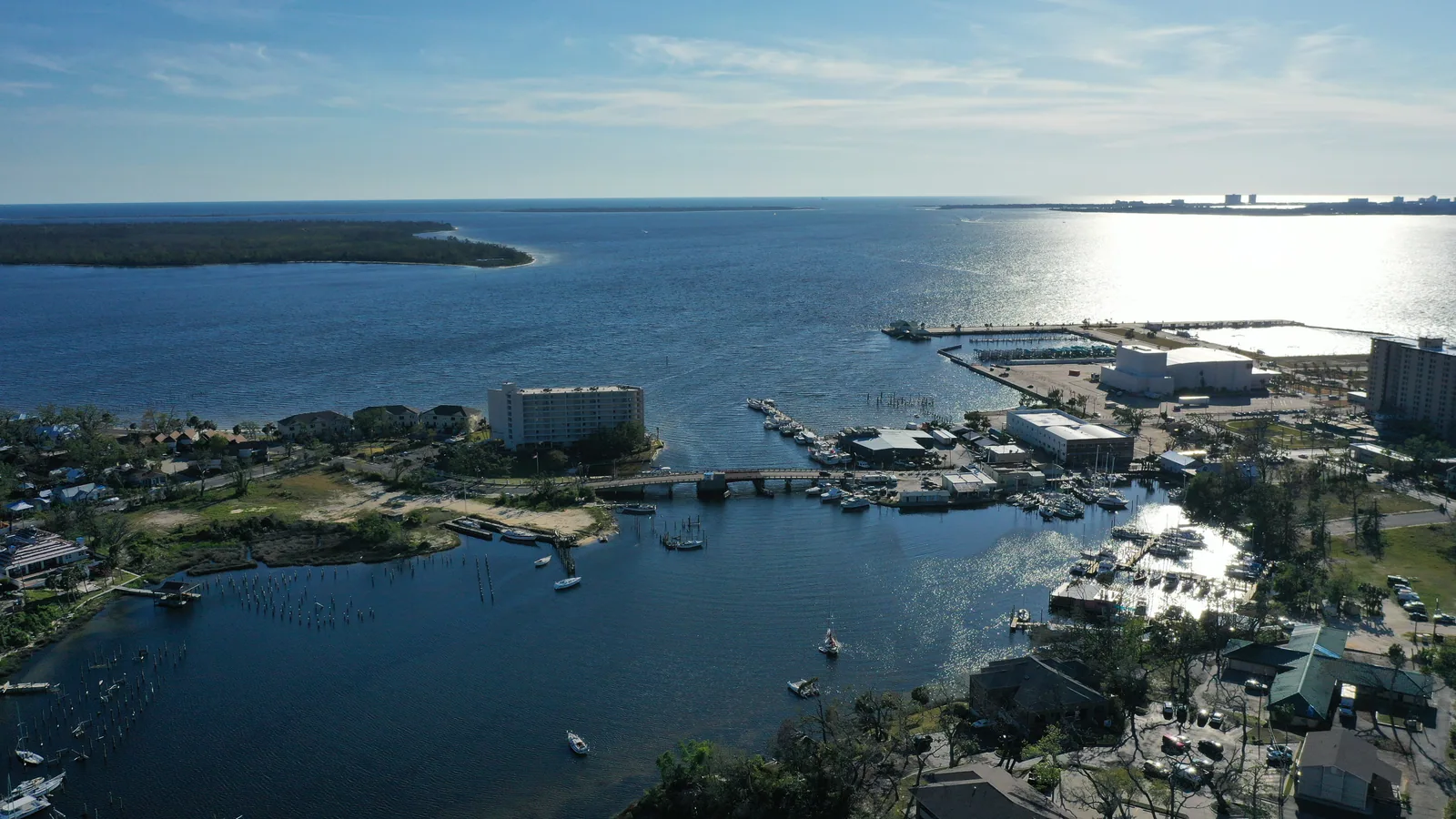
A wide view establishes water, shoreline and development in the surrounding landscape.
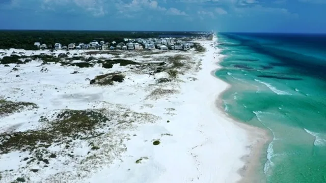
An aerial photograph connects the beach, dune vegetation and nearby homes.
Aerial photography connects open ground, wooded corridors and rural access.
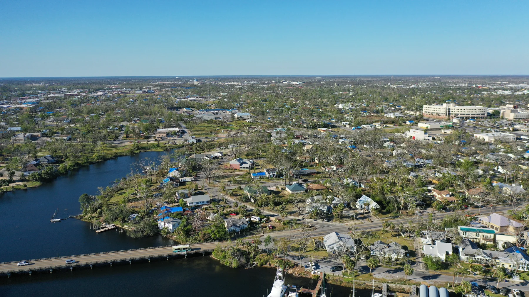
Waterways, buildings and access viewed together.
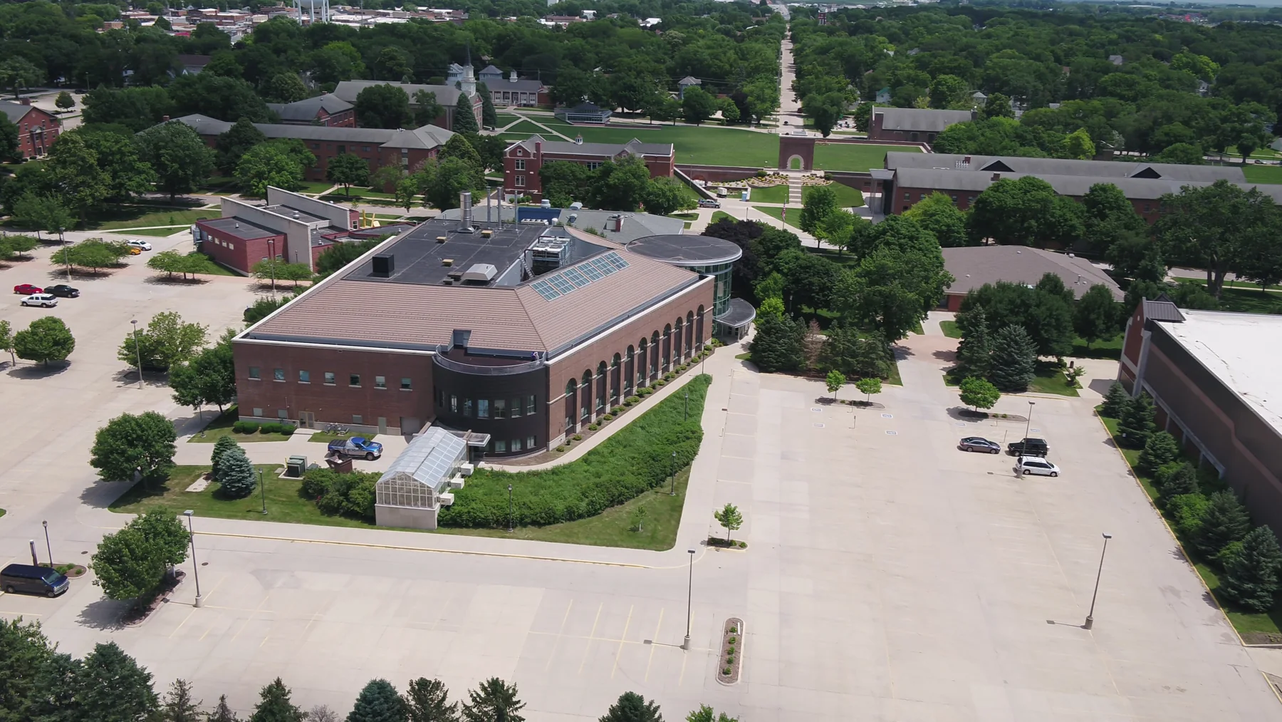
An aerial view connects the campus footprint, green grounds and neighboring streets.
Discuss acreage photography, outdoor property media or a location-specific thermal feasibility review. No drone game recovery is offered in Nebraska.
Discuss these viewsUNDERSTAND THE WORK / PLAN WITH CONFIDENCE
No live-game pursuit, herding or harassment. Landowner permission does not override wildlife or aviation rules. Aerial imagery is not a legal boundary survey.
THE NEXT MOVE IS YOURS
Share the location, purpose and timing. We’ll discuss feasibility, deliverables and travel.