01 / THE VIEW WITH A PURPOSE
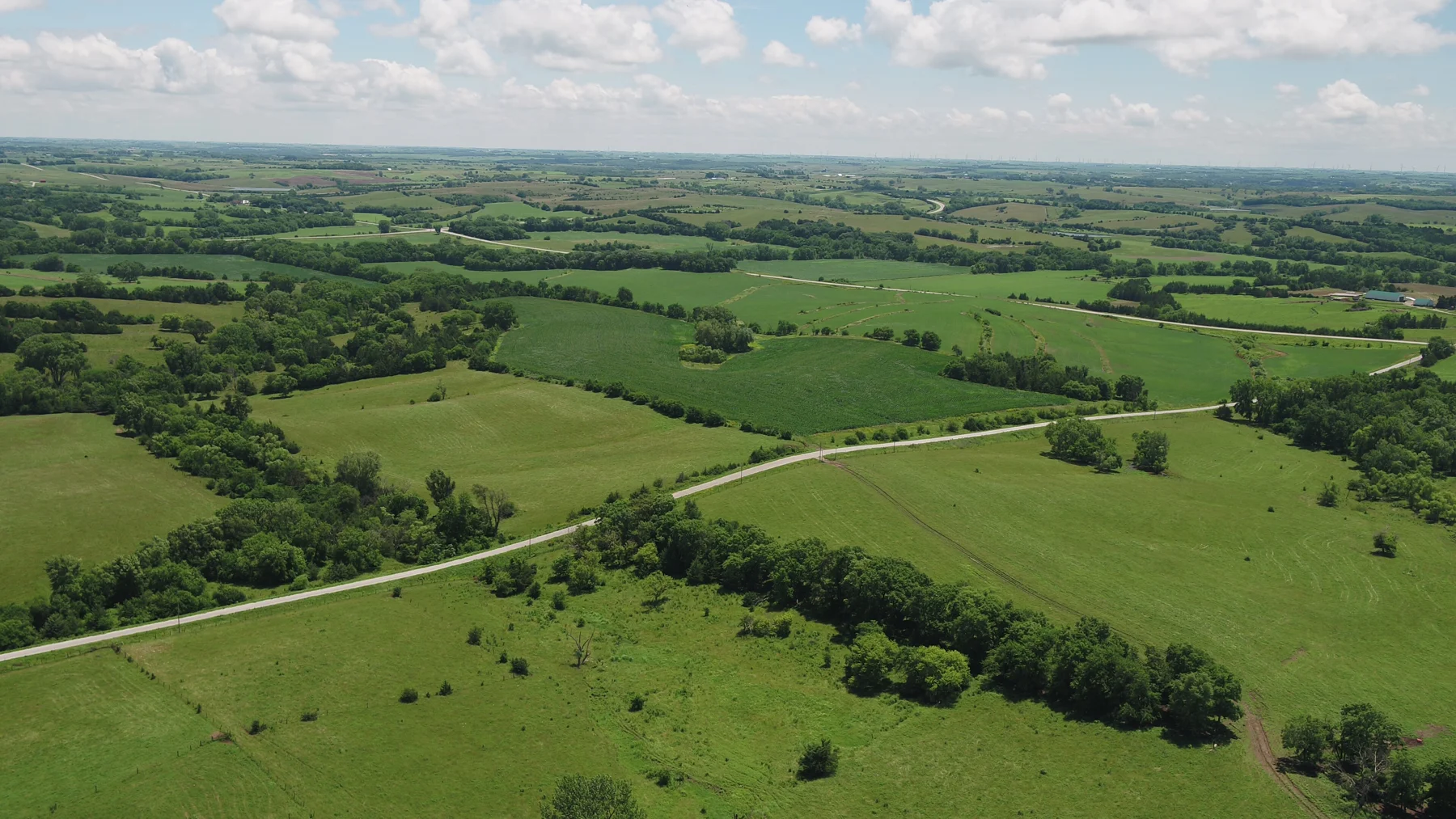
Read the wider setting Show the relationship between fields, tree lines, water and neighboring features. Wide context establishes the character of the land.
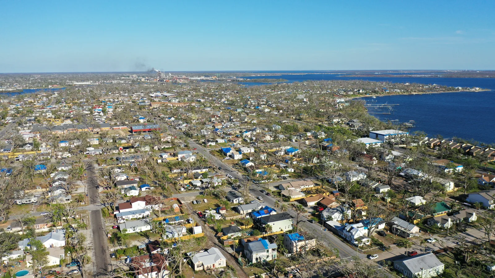
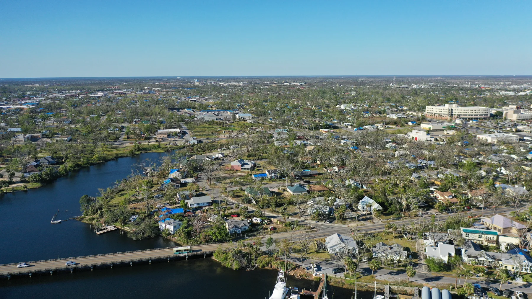
↗ The neighborhood and shoreline A wide aerial view connects the built landscape, vegetation and water.
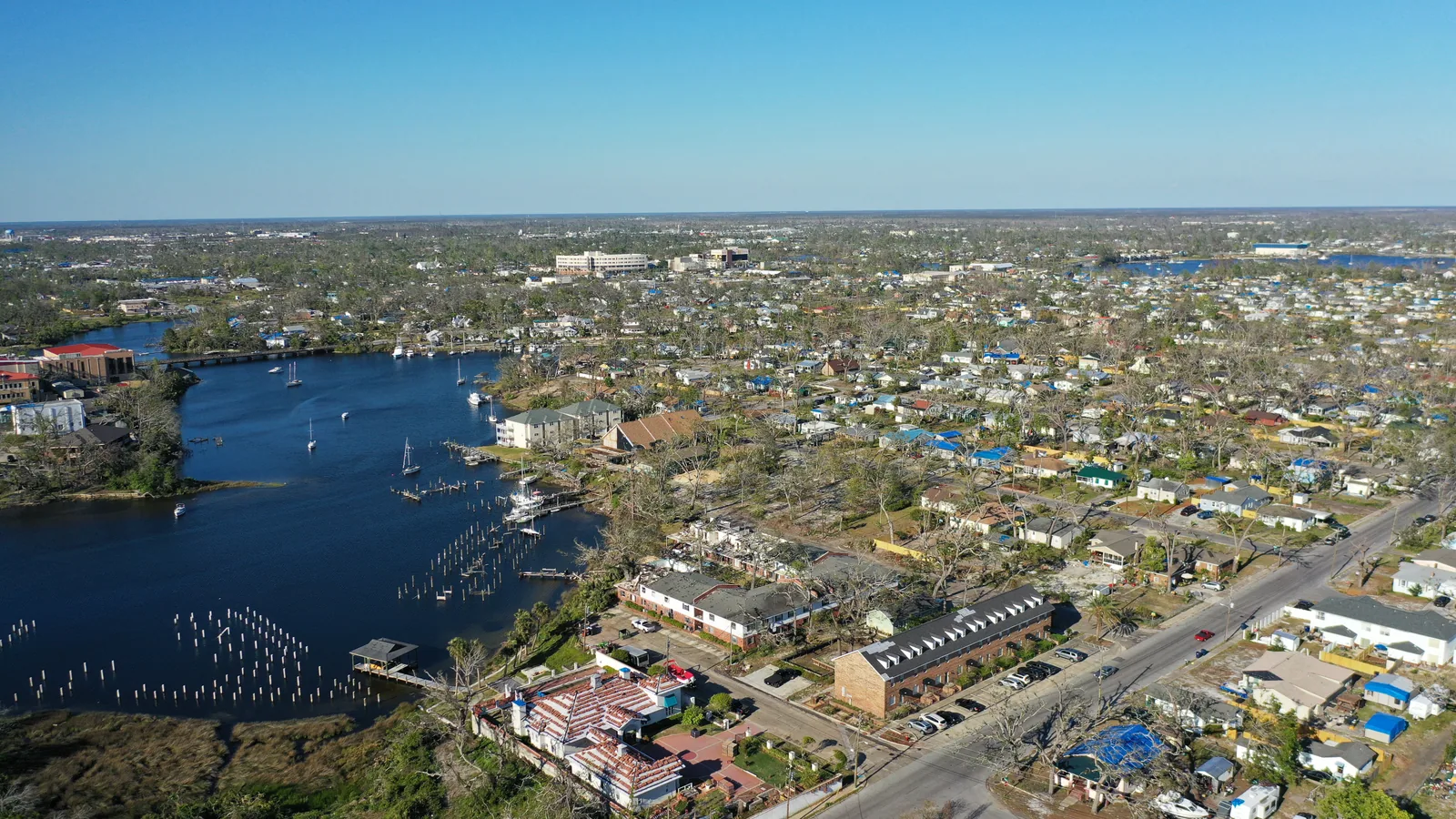
↗ Land, routes and water An aerial context view follows the relationship between buildings, streets and an inlet.
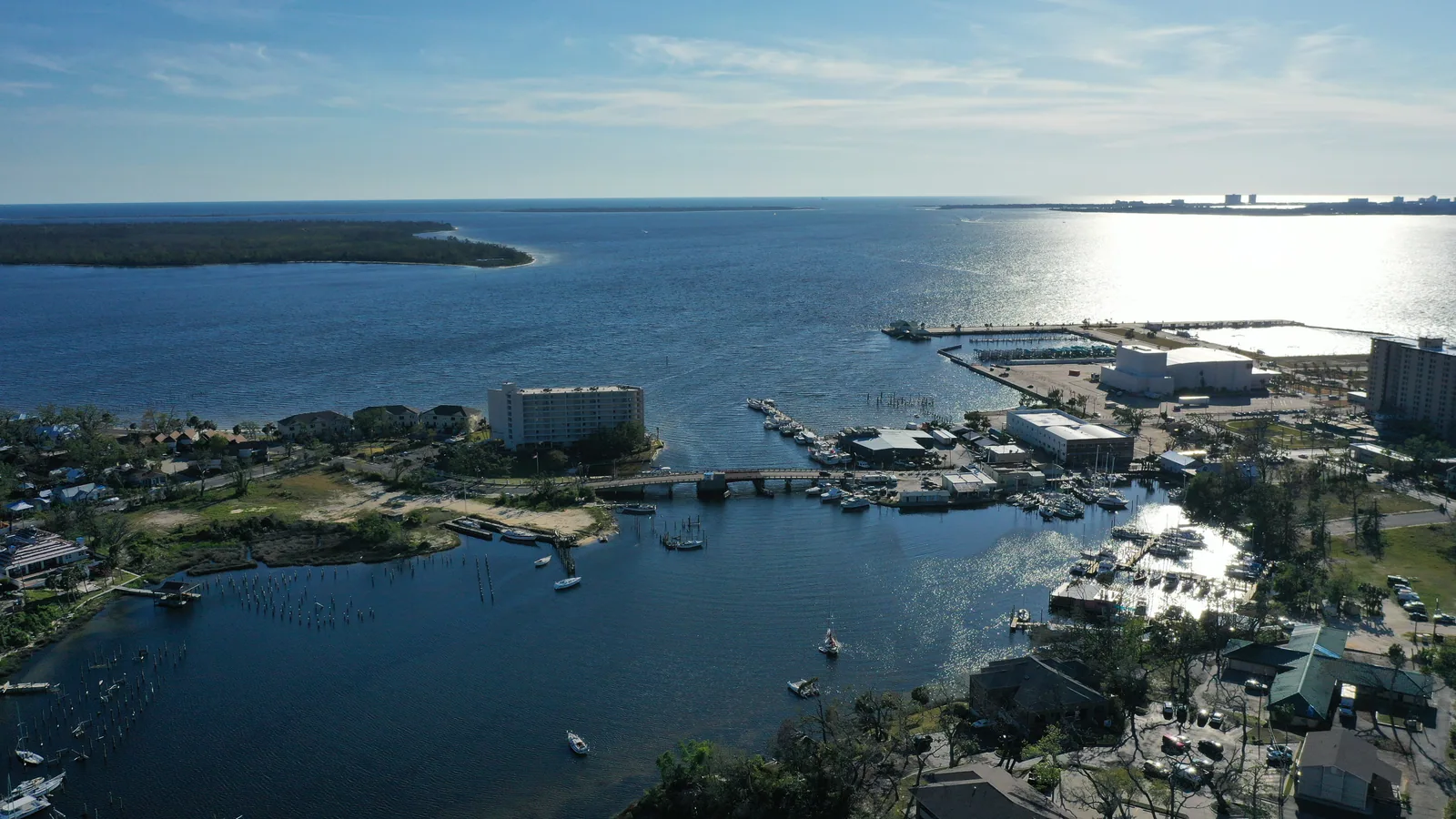
↗ The waterfront from another angle A different aerial perspective shows the shape of the inlet and surrounding land.
02 / THE VIEW WITH A PURPOSE
Show the features that matter Plan closer views of access, structures or landscape features relevant to the project. These are visual records, not a legal boundary survey.
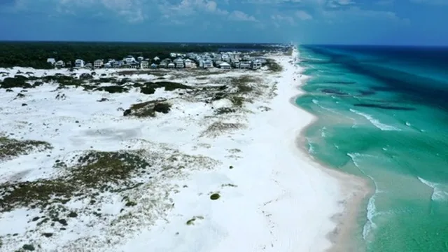
↗ The larger coastal setting A wide view establishes water, shoreline and development in the surrounding landscape.
↗ Coastline, dunes and homes An aerial photograph connects the beach, dune vegetation and nearby homes.
↗ Fields, tree lines and rural roads Aerial photography connects open ground, wooded corridors and rural access.
03 / THE VIEW WITH A PURPOSE
Define the purpose Outdoor marketing, property documentation and thermal wildlife inquiries need different capture plans. Start with the intended result and the location.
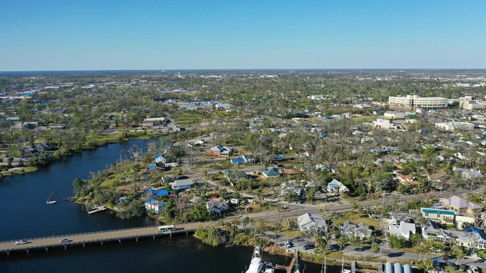
↗ Where land meets water Waterways, buildings and access viewed together.
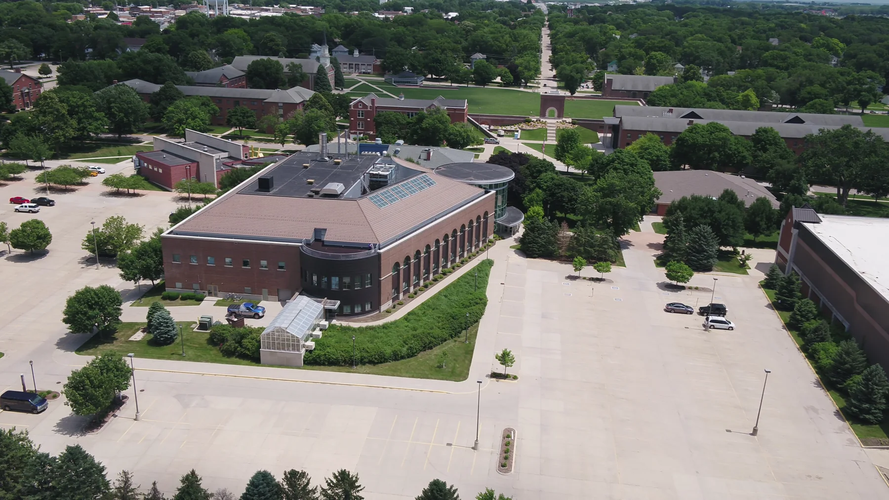
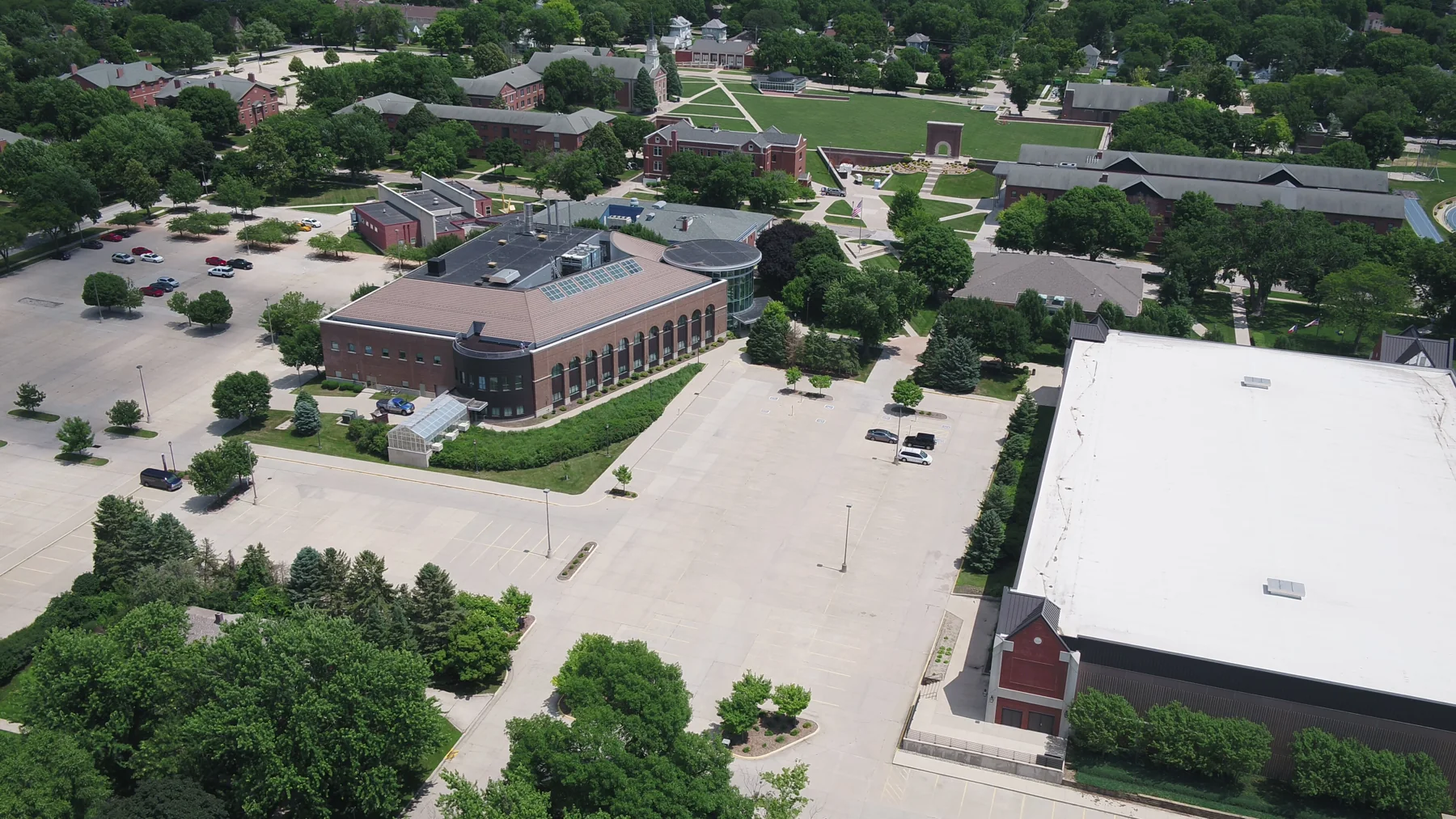
↗ Grounds and buildings in context An aerial view connects the campus footprint, green grounds and neighboring streets.
↗ The landscape around the buildings Buildings and their surrounding grounds shown in an aerial context view.